
🌊 Navigate your world with iconic precision and style!
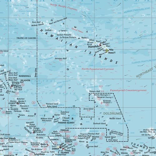
The National Geographic Pacific Ocean Political Wall Map is a compact 54 x 41 cm high-quality print featuring detailed political and physical geography. Printed on thick glossy paper and shipped in a protective tube, it uses the Azimuthal Equidistant projection for accurate distance representation. This exclusive standalone map, previously part of the 11th Edition Atlas, is perfect for professionals, educators, and collectors seeking a stylish, precise, and user-friendly wall map.
| ASIN | B0C63KV72D |
| Best Sellers Rank | 311,353 in Stationery & Office Supplies ( See Top 100 in Stationery & Office Supplies ) 3,491 in School Curriculum Resources 46,021 in Travel & Tourism (Books) |
| Brand Name | National Geographic |
| Colour | full color |
| Customer Reviews | 4.8 out of 5 stars 15 Reviews |
| Item Dimensions L x W | 54L x 41W centimetres |
| Item height | 0.5 centimetres |
| Map Type | Physical, Political |
| Paper Finish Type | Glossy |
| Paper Size | 54 x 41 cm |
| UPC | 697942184563 |
S**K
Helpful map of the Pacific
Locating the islands of the Pacific in order to rendezvous with family sailing project was proving difficult online. I’m going to have the map flattened and framed so I can follow their route at a glance. Thanks!
Trustpilot
1 month ago
3 weeks ago


